Conservation Module Uploads
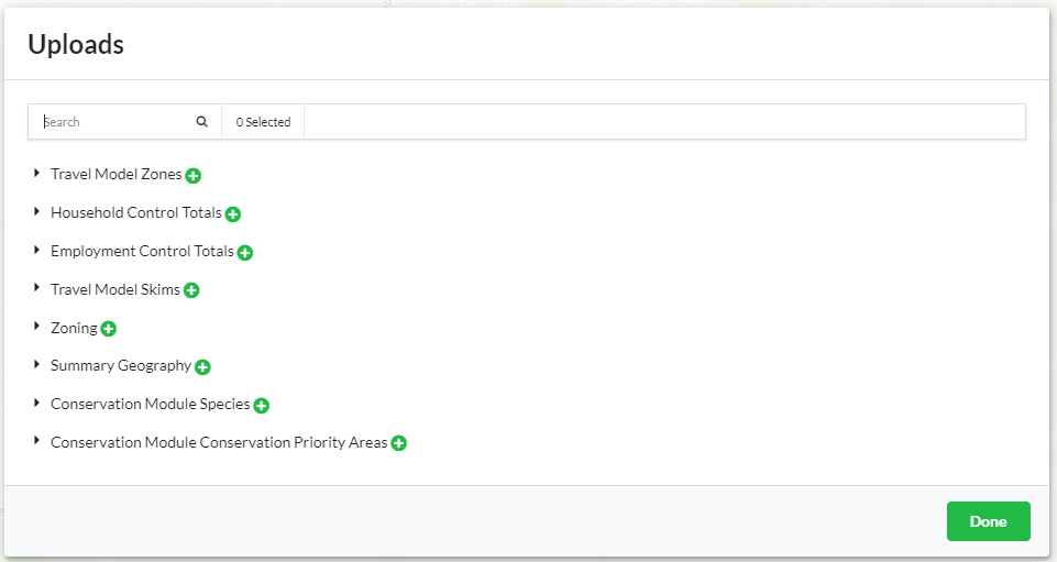
The conservation module accepts two types of optional user inputs to support the calculation of additional conservation metrics. These inputs can be selected when composing a scenario.
Conservation Priority Areas
Conservation priority areas refer to priorities identified from local planning efforts (e.g. wildlife corridors from a local connectivity analysis, conservation priorities from a local NGO, catchments above local reservoirs etc.). Polygon shapefiles of conservation priority areas can be uploaded and included in a scenario and incorporated in the metrics calculated by the conservation module. The conservation module will report on net acres of urban, agricultural, and natural land-use change within the geography of the priority area. The name given to the file during upload is used tag metrics that correspond to that conservation priority Area file. Multiple conservation priority areas can be uploaded and used in a single scenario. File names given during upload should be unique. The conservation priority area layer(s) should be in the form of a zipped (.zip) shapefile. The shapefile should have the following field: polygon_id
Column Name |
Data Type |
Description |
|---|---|---|
polygon_id |
Integer |
Polygon ID |
Species
A species file contains the IDs of any number of conservation module supported species types that can be incorporated in the metrics calculated by the conservation module. Including a user-defined species list will enable reporting of acres of habitat improved or degraded for each species in the list based on land use change within the UrbanSim scenario, the species ranges, and species- and land cover specific habitat suitability values. Species files should be formatted as a CSV file with the following field: species_id. Each row represents one unique species ID type that correspond to the species IDs supported by the conservation module. Click here to download the conservation module supported species list
Column Name |
Data Type |
Description |
|---|---|---|
species_id |
Integer |
ID of species type. Species ID must correspond to those |